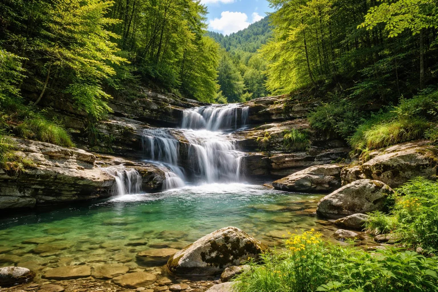
Casentino is a valley of woods and streams, not beaches: here's what official sources say about pools, lakes, the Arno and pozze, and how to behave in summer.
A valley of water, but not well equipped for swimming
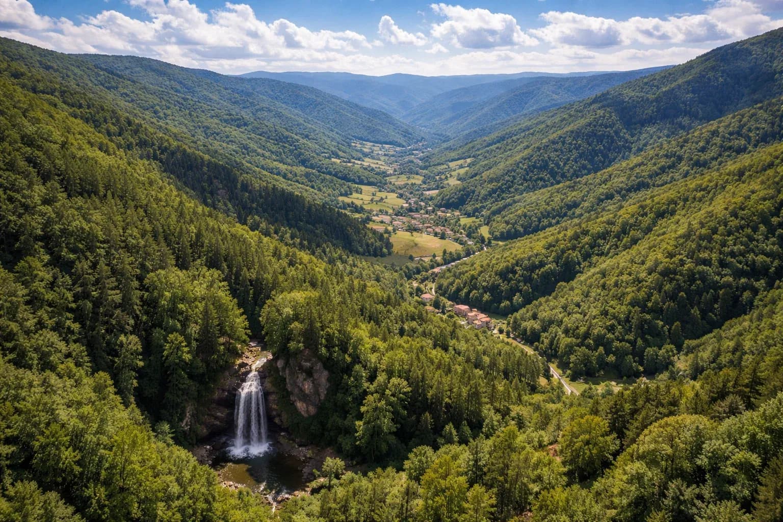
Casentino is the valley of the Arno at its origins: the Arno rises on the slopes of Monte Falterona, and the area is dotted with streams, springs and lakes. Visitors arriving in summer wonder where to swim. The honest answer is that none of the official sources consulted (Parco nazionale delle Foreste Casentinesi, Comune di Pratovecchio Stia, Visit Tuscany, Wikipedia) lists lakes or river stretches officially designated as bathing areas. For this reason, this guide carefully distinguishes what is documented from what is not.
Public swimming pools
The sources consulted do not indicate a public swimming pool in the municipality of Pratovecchio Stia. The one the Comune refers to is the municipal pool of Bibbiena, at via F. Coppi 8, run by A.S.D. Bibbiena Nuoto: in summer 2026 the Comune di Pratovecchio Stia organized swimming courses there for children aged 6 to 14, with a school bus from Stia and Pratovecchio. The sources do not report opening hours to the public or entry fees: for a day trip for a swim, it's best to call the organization that manages the facility beforehand.
The Park's lakes: to look at, not necessarily to swim in
The Parco offers the excursion «I tre laghi del Parco»: Lago di Ponte, Lago di Ridracoli and Lago degli Idoli. None of the pages consulted mention swimming.
- **Lago degli Idoli**: located at about 1380 meters of altitude, south of the peak of Monte Falterona, a few hundred meters from the source of Capo d'Arno. It is an archaeological site: the Etruscans threw votive offerings there in the 6th century BC, and it is considered the most important archaeological site in Casentino. It is a destination for hiking and respect, not for swimming.
- **Lago di Ridracoli**: the Parco notes that no marked trail allows you to walk all the way around the lake, and that venturing off the trail is very dangerous. Canoe-trekking is practiced instead, starting from the dam.
The Arno and pozze: only with guides and events
In the past, the Parco has offered guided water experiences. One example is the water trekking of July 26, 2020, starting from Stia: a hike up towards the source of the Arno with swimwear under clothing, «fresh and clear» water, and wading in up to the waist to cool off. Another event, on the Romagna side, involves searching for the right pozza under the Acquacheta waterfall to dive into the «natural pools». These are organized activities with guides: they are not a general rule allowing swimming everywhere.
Alternatives for a day by the water
If you're looking for water without swimming, the Parco offers a few documented alternatives. Lago di Ridracoli can be visited by canoe-trekking, starting from the dam, or with the «I tre laghi del Parco» excursion, which crosses it partly by boat and then continues on foot along the shore. Those who love mountain swims will more easily find an answer in organized events, where the guide chooses the right spot and knows the water conditions. For those traveling with children, the Comune di Pratovecchio Stia points to the pool in Bibbiena as a reference for swimming.
One last practical note about Lago di Ridracoli: the dams have nighttime gate closures (from 8 pm to 7 am in winter and from 10 pm to 6 am in summer, according to the Parco's page on trail conditions), so it's worth planning your arrival and departure times.
Rules and caution
The only explicit ban on swimming found in the sources is the ordinance of the mayor of Premilcuore for the Grotta Urlante in the Giumella area, on the Romagna side. This does not mean that it is allowed elsewhere: within the Parco, environmental protection rules apply, and the waters of mountain streams and lakes are cold and unpredictable. So, before taking a dip:
- check with the Comune or the Parco about any ordinances in force;
- choose, if you can, guided activities organized by the Parco;
- do not enter the water in isolated spots or after heavy rain.
<!-- sources: https://www.comune.pratovecchiostia.ar.it/c051041/po/mostra_news.php?id=1184&area=H, https://www.parcoforestecasentinesi.it/it/event/i-tre-laghi-del-parco, https://www.parcoforestecasentinesi.it/it/multimedia/mappainterattiva/luoghi-da-visitare/lago-degli-idoli, https://www.parcoforestecasentinesi.it/it/muoversi/stato-dei-sentieri-del-parco, https://www.parcoforestecasentinesi.it/it/event/trekking-acquatico-risalita-verso-la-sorgente-dellarno-0, https://www.parcoforestecasentinesi.it/it/event/wild-water-camp-acquacheta-acquatrek-dei-gorgoni-e-poggio-inferno -->
<!-- sources: https://www.comune.pratovecchiostia.ar.it/c051041/po/mostra_news.php?id=1184&area=H, https://www.parcoforestecasentinesi.it/it/event/i-tre-laghi-del-parco, https://www.parcoforestecasentinesi.it/it/multimedia/mappainterattiva/luoghi-da-visitare/lago-degli-idoli, https://www.parcoforestecasentinesi.it/it/muoversi/stato-dei-sentieri-del-parco, https://www.parcoforestecasentinesi.it/it/event/trekking-acquatico-risalita-verso-la-sorgente-dellarno-0, https://www.parcoforestecasentinesi.it/it/event/wild-water-camp-acquacheta-acquatrek-dei-gorgoni-e-poggio-inferno -->